
Geten topographic map
Interactive map
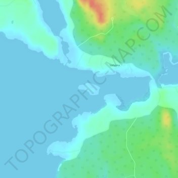
Click on the map to display elevation.
About this map
Name: Geten topographic map, elevation, terrain.
Average elevation: 8 m
Minimum elevation: -3 m
Maximum elevation: 44 m
Other topographic maps
Click on a map to view its topography, its elevation and its terrain.
Gysinge
Zweden > Gävleborgs län > Gysinge
Gysinge, Sandviken, Gävleborgs län, Norrland, 810 21, Zweden
Average elevation: 57 m