Geolocate

Harelson topographic map

Click on the map to display elevation.

About this map

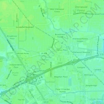
Name: Harelson topographic map, elevation, terrain.

Location: Harelson, Baton Rouge, East Baton Rouge Parish, Louisiana, 70815, United States (30.41408 -91.08594 30.45408 -91.04594)

Average elevation: 16 m

Minimum elevation: 10 m

Maximum elevation: 20 m

Other topographic maps

Click on a map to view its topography, its elevation and its terrain.

Gear up for your next adventure:

🧴First Aid Kit - Essential first aid supplies for outdoor emergencies
🧥Insulated Jacket - Keep warm in cold outdoor conditions
🚲Bike Repair Kit - Essential tools for on-trail mechanical issues
🦶Anti-Blister Balm - Prevents friction and hotspots during long ascents
🧊Insulated Water Bottle - Keeps drinks cold in summer and prevents freezing in winter

As an Amazon Associate, this site earns from qualifying purchases at no extra cost to you.