
Grand-Hallet topographic map
Interactive map
Click on the map to display elevation.
About this map
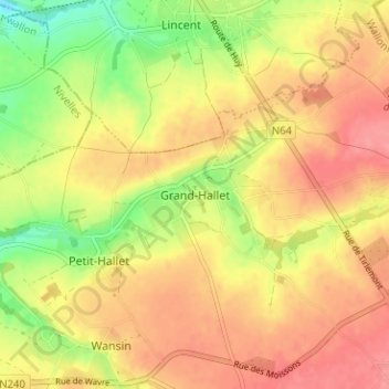
Name: Grand-Hallet topographic map, elevation, terrain.
Location: Grand-Hallet, Hannut, Waremme, Liège, Wallonie, 4280, Belgique (50.67412 5.01407 50.71412 5.05407)
Average elevation: 110 m
Minimum elevation: 65 m
Maximum elevation: 139 m
Other topographic maps
Click on a map to view its topography, its elevation and its terrain.
Petit-Hallet
Belgique > Liège > Waremme > Hannut
Petit-Hallet, Hannut, Waremme, Liège, Wallonie, 4280, Belgique
Average elevation: 107 m