Geolocate

Bray topographic map

Click on the map to display elevation.

About this map
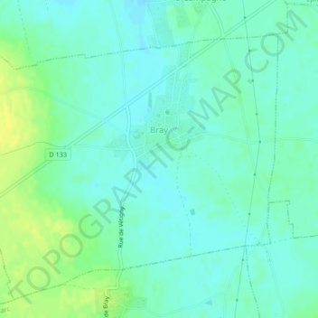
Name: Bray topographic map, elevation, terrain.

Location: Bray, Bernay, Eure, Normandy, Metropolitan France, 27170, France (49.09207 0.81552 49.11609 0.85703)

Average elevation: 150 m

Minimum elevation: 143 m

Maximum elevation: 163 m

Other topographic maps

Click on a map to view its topography, its elevation and its terrain.

Le Mesnil

France > Normandy > Eure > Valailles

Average elevation: 148 m

Gear up for your next adventure:

🛌Insulated Sleeping Pad - Critical thermal barrier between you and the cold ground
🔥Camping Stove - Portable stoves to cook outdoors with ease
🦶Hiking Shoe Insoles - Added support for high arches and long days on feet
🛶Canoe Life Vest - Safety vest for water sports
🕯️Camping Lantern - Illuminates your entire campsite with high-efficiency LEDs

As an Amazon Associate, this site earns from qualifying purchases at no extra cost to you.