
福田 topographic map
Interactive map
Click on the map to display elevation.
About this map
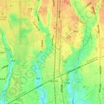
Name: 福田 topographic map, elevation, terrain.
Location: 福田, 大和市, Préfecture de Kanagawa, Kantō, Japon (35.42291 139.44789 35.45930 139.46732)
Average elevation: 50 m
Minimum elevation: 28 m
Maximum elevation: 65 m
Other topographic maps
Click on a map to view its topography, its elevation and its terrain.
渋谷6
Japon > Préfecture de Kanagawa > 大和市 > 福田
渋谷6, 渋谷, 福田, 大和市, Préfecture de Kanagawa, Kantō, Japon
Average elevation: 47 m