
Kalavapudi topographic map
Interactive map
Click on the map to display elevation.
About this map
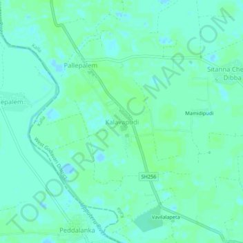
Name: Kalavapudi topographic map, elevation, terrain.
Location: Kalavapudi, Kalla, West Godavari, Andhra Pradesh, India (16.44163 81.36826 16.48163 81.40826)
Average elevation: 4 m
Minimum elevation: -1 m
Maximum elevation: 6 m