Geolocate

Santa Fe topographic map

Click on the map to display elevation.

About this map

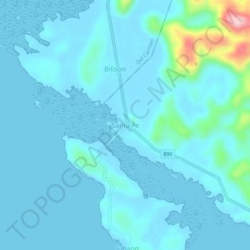
Name: Santa Fe topographic map, elevation, terrain.

Location: Santa Fe, Dapa, Surigao del Norte, Caraga, 8417, Philippines (9.76124 125.99252 9.80124 126.03252)

Average elevation: 21 m

Minimum elevation: 0 m

Maximum elevation: 215 m

Other topographic maps

Click on a map to view its topography, its elevation and its terrain.

Corregidor

Philippines > Surigao Del Norte > Dapa

Average elevation: 3 m

Pagaspas

Philippines > Surigao Del Norte > Dapa

Average elevation: 16 m

Pagaspas

Philippines > Surigao Del Norte > Dapa

Average elevation: 16 m

Gear up for your next adventure:

🧢Sun Hat - Wide-brim hat for sun protection
🐕Hiking Dog Pack - Let your canine companion carry their own water and food
🥾Approach Shoes - Shoes designed for climbing approaches and rugged trails
🪑Insulated Seat Pad - Protect your seat from cold rocks and wet logs
🔋Emergency Crank Radio - Weather alerts and power without needing batteries

As an Amazon Associate, this site earns from qualifying purchases at no extra cost to you.