
Arias topographic map
Interactive map
Click on the map to display elevation.
About this map
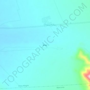
Name: Arias topographic map, elevation, terrain.
Location: Arias, Provincia de Nasca, Ica, Perú (-15.00118 -74.95386 -14.96118 -74.91386)
Average elevation: 562 m
Minimum elevation: 524 m
Maximum elevation: 869 m