Geolocate

Santa Maria topographic map

Click on the map to display elevation.

About this map

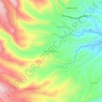
Name: Santa Maria topographic map, elevation, terrain.

Location: Santa Maria, Laurel, Batangas, Calabarzon, 4221, Philippines (14.02435 120.87373 14.06435 120.91373)

Average elevation: 215 m

Minimum elevation: 28 m

Maximum elevation: 452 m

Gear up for your next adventure:

🧴Insect Repellent - Protect yourself from bugs during outdoor adventures
🥾Approach Shoes - Shoes designed for climbing approaches and rugged trails
🥾Durable Hiking Shoes - Long-lasting shoes for frequent hiking
🎒Fully Waterproof Backpack - Total protection for photography gear and electronics
Lightweight Camping Tent - Portable shelter optimized for Canadian backcountry camping

As an Amazon Associate, this site earns from qualifying purchases at no extra cost to you.