
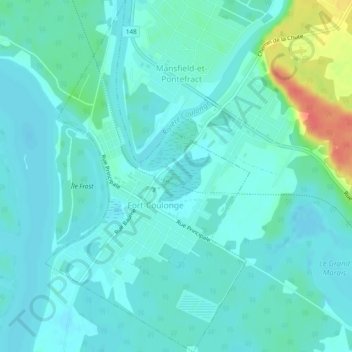
Fort-Coulonge topographic map
Interactive map
Click on the map to display elevation.
About this map
Name: Fort-Coulonge topographic map, elevation, terrain.
Location: Fort-Coulonge, Pontiac (MRC), Outaouais, Quebec, Canada (45.82736 -76.75123 45.86017 -76.72386)
Average elevation: 113 m
Minimum elevation: 104 m
Maximum elevation: 159 m