Geolocate

San Pietro topographic map

Click on the map to display elevation.

About this map

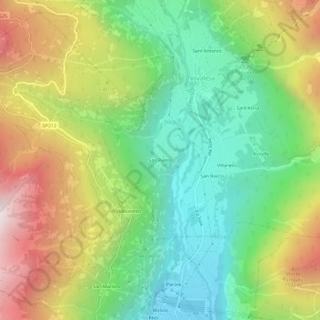
Name: San Pietro topographic map, elevation, terrain.

Location: San Pietro, Novalesa, Torino, Piemonte, Italia (45.15937 6.98813 45.19937 7.02813)

Average elevation: 1,151 m

Minimum elevation: 609 m

Maximum elevation: 1,971 m

Gear up for your next adventure:

🥾Hiking Boots - Sturdy boots providing ankle support and traction on rugged trails
🥾Mountain Hiking Shoes - Shoes with superior grip for mountainous terrain
🧼Biodegradable Camp Soap - Environmentally friendly cleaning for gear and body
🔭Compact Binoculars - Lightweight optics for scouting trails and wildlife
🧴Outdoor Sunscreen - High SPF protection for high-altitude UV exposure

As an Amazon Associate, this site earns from qualifying purchases at no extra cost to you.