
Querala topographic map
Interactive map
Click on the map to display elevation.
About this map
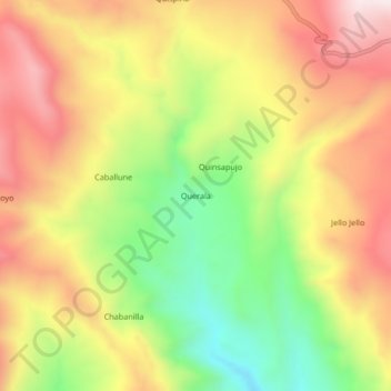
Name: Querala topographic map, elevation, terrain.
Location: Querala, General Sánchez Cerro, Moquegua, Peru (-16.19269 -70.79235 -16.15269 -70.75235)
Average elevation: 4,166 m
Minimum elevation: 3,823 m
Maximum elevation: 4,479 m