
Almere topographic map
Interactive map
Click on the map to display elevation.
About this map
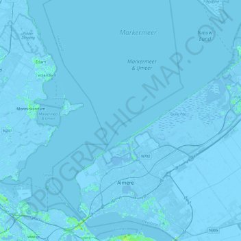
Name: Almere topographic map, elevation, terrain.
Location: Almere, Flevoland, Niederlande (52.30239 5.06043 52.58367 5.37921)
Average elevation: -1 m
Minimum elevation: -9 m
Maximum elevation: 13 m
Other topographic maps
Click on a map to view its topography, its elevation and its terrain.