
Make a donation
Gear up for your next adventure:
As an Amazon Associate, this site earns from qualifying purchases at no extra cost to you.
Waterhen Lake topographic map
Click on the map to display elevation.
Make a donation
Gear up for your next adventure:
As an Amazon Associate, this site earns from qualifying purchases at no extra cost to you.
About this map
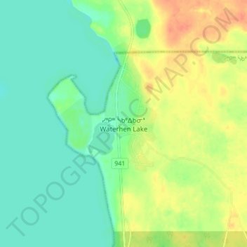
Name: Waterhen Lake topographic map, elevation, terrain.
Location: Waterhen Lake, Division No. 17, Saskatchewan, Canada (54.49742 -108.43218 54.53742 -108.39218)
Average elevation: 481 m
Minimum elevation: 465 m
Maximum elevation: 503 m
Division No. 17 trails, hiking, mountain biking, running and outdoor activities
Make a donation
Gear up for your next adventure:
As an Amazon Associate, this site earns from qualifying purchases at no extra cost to you.
Other topographic maps
Click on a map to view its topography, its elevation and its terrain.
Little Fishing Lake
Canada > Saskatchewan > Division No. 17 > Loon Lake No. 561
Average elevation: 617 m
Make a donation
Gear up for your next adventure:
As an Amazon Associate, this site earns from qualifying purchases at no extra cost to you.