Geolocate

Duncan Falls topographic map

Click on the map to display elevation.

About this map

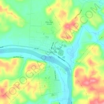
Name: Duncan Falls topographic map, elevation, terrain.

Location: Duncan Falls, Muskingum County, Ohio, 43771, United States (39.85201 -81.92930 39.89201 -81.88930)

Average elevation: 241 m

Minimum elevation: 201 m

Maximum elevation: 305 m

Gear up for your next adventure:

🧼Biodegradable Camp Soap - Environmentally friendly cleaning for gear and body
🧥Insulated Jacket - Keep warm in cold outdoor conditions
🧭Orienteering Kit - Tools for map reading and navigation in the wild
🥾Waterproof Hiking Shoes - Durable shoes for wet and rugged trails
🥾Hiking Shoes - Durable and comfortable shoes for trail hiking

As an Amazon Associate, this site earns from qualifying purchases at no extra cost to you.