
Thank you for supporting this site ❤️
Make a donation
Make a donation
Gear up for your next adventure:
As an Amazon Associate, this site earns from qualifying purchases at no extra cost to you.
Haliyan topographic map
Click on the map to display elevation.
Thank you for supporting this site ❤️
Make a donation
Make a donation
Gear up for your next adventure:
As an Amazon Associate, this site earns from qualifying purchases at no extra cost to you.
About this map
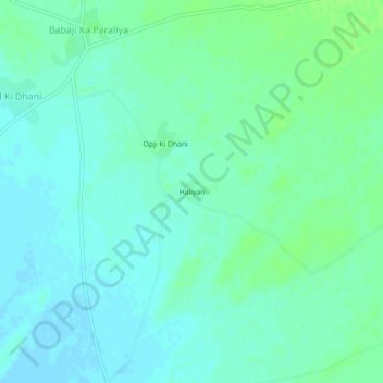
Name: Haliyan topographic map, elevation, terrain.
Location: Haliyan, Pachpadra Tehsil, Barmer District, Rajasthan, India (26.14466 72.62671 26.18466 72.66671)
Average elevation: 165 m
Minimum elevation: 160 m
Maximum elevation: 170 m
Thank you for supporting this site ❤️
Make a donation
Make a donation
Gear up for your next adventure:
As an Amazon Associate, this site earns from qualifying purchases at no extra cost to you.