
Cipayung topographic map
Interactive map
Click on the map to display elevation.
About this map
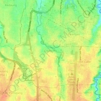
Name: Cipayung topographic map, elevation, terrain.
Location: Cipayung, Tangerang Selatan, Banten, 15417, Indonésie (-6.34722 106.73490 -6.30722 106.77490)
Average elevation: 54 m
Minimum elevation: 30 m
Maximum elevation: 70 m