
Elsterberg topographic map
Interactive map
Click on the map to display elevation.
About this map
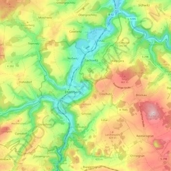
Name: Elsterberg topographic map, elevation, terrain.
Location: Elsterberg, Vogtlandkreis, Saxe, 07985, Allemagne (50.58011 12.10963 50.64157 12.22396)
Average elevation: 372 m
Minimum elevation: 259 m
Maximum elevation: 505 m