
Lac Beaulieu topographic map
Click on the map to display elevation.
About this map
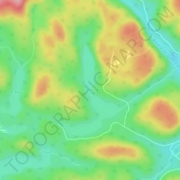
Name: Lac Beaulieu topographic map, elevation, terrain.
Average elevation: 751 m
Minimum elevation: 688 m
Maximum elevation: 845 m
La Côte-de-Beaupré trails, hiking, mountain biking, running and outdoor activities
Other topographic maps
Click on a map to view its topography, its elevation and its terrain.
Mont Raoul-Blanchard
Canada > Quebec > La Côte-de-Beaupré > Lac-Jacques-Cartier
Average elevation: 982 m