Geolocate

Fluxerum topographic map

Click on the map to display elevation.

About this map

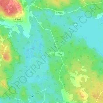
Name: Fluxerum topographic map, elevation, terrain.

Location: Fluxerum, Vetlanda kommun, Jönköping County, 570 19, Sweden (57.47509 15.50933 57.51509 15.54933)

Average elevation: 197 m

Minimum elevation: 177 m

Maximum elevation: 246 m

Gear up for your next adventure:

🔋Solar Power Bank - Keep your GPS and devices charged during long outdoor trips
🌬️Windproof Camp Stove - Efficient cooking even on exposed mountain peaks
Family Camping Tent - Spacious tent suitable for family camping trips
💧Collapsible Water Bottle - Space-saving water bottle for outdoor activities
🧣Evaporative Cooling Towel - Beat the heat during intense summer climbs

As an Amazon Associate, this site earns from qualifying purchases at no extra cost to you.