Geolocate

Pocto topographic map

Click on the map to display elevation.

About this map

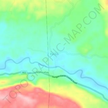
Name: Pocto topographic map, elevation, terrain.

Location: Pocto, Hinatuan, Surigao del Sur, Caraga, Philippines (8.40139 126.26113 8.44139 126.30113)

Average elevation: 60 m

Minimum elevation: 4 m

Maximum elevation: 168 m

Gear up for your next adventure:

🧭Orienteering Kit - Tools for map reading and navigation in the wild
🧦Merino Wool Socks - Moisture-wicking comfort for long-distance hiking
👟Trail Running Shoes - Agile footwear for fast-paced topographic exploration
🛁Quick-Dry Microfiber Towel - Space-saving towel that dries rapidly on the move
🧥Fleece Jacket - Warm and lightweight jacket for layering

As an Amazon Associate, this site earns from qualifying purchases at no extra cost to you.