
万盛 topographic map
Interactive map
Click on the map to display elevation.
About this map
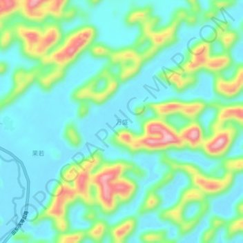
Name: 万盛 topographic map, elevation, terrain.
Location: 万盛, 天等县, 崇左市, 广西壮族自治区, 中国 (23.15740 107.09200 23.19740 107.13200)
Average elevation: 529 m
Minimum elevation: 455 m
Maximum elevation: 717 m
Other topographic maps
Click on a map to view its topography, its elevation and its terrain.