
Half Moon topographic map
Interactive map
Click on the map to display elevation.
About this map
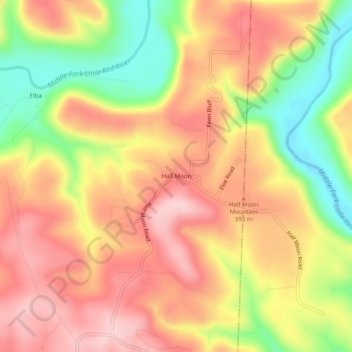
Name: Half Moon topographic map, elevation, terrain.
Location: Half Moon, Van Buren County, Arkansas, United States (35.73980 -92.44627 35.77980 -92.40627)
Average elevation: 353 m
Minimum elevation: 223 m
Maximum elevation: 448 m