
Thank you for supporting this site ❤️
Make a donation
Make a donation
Gear up for your next adventure:
As an Amazon Associate, this site earns from qualifying purchases at no extra cost to you.
Gabrieis topographic map
Click on the map to display elevation.
Thank you for supporting this site ❤️
Make a donation
Make a donation
Gear up for your next adventure:
As an Amazon Associate, this site earns from qualifying purchases at no extra cost to you.
About this map
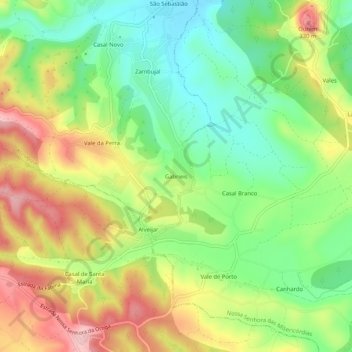
Name: Gabrieis topographic map, elevation, terrain.
Location: Gabrieis, Atouguia, Ourém, Santarém, 2490-057, Portugal (39.60411 -8.63190 39.64411 -8.59190)
Average elevation: 237 m
Minimum elevation: 158 m
Maximum elevation: 339 m
Thank you for supporting this site ❤️
Make a donation
Make a donation
Gear up for your next adventure:
As an Amazon Associate, this site earns from qualifying purchases at no extra cost to you.