
Sundown topographic map
Interactive map
Click on the map to display elevation.
About this map
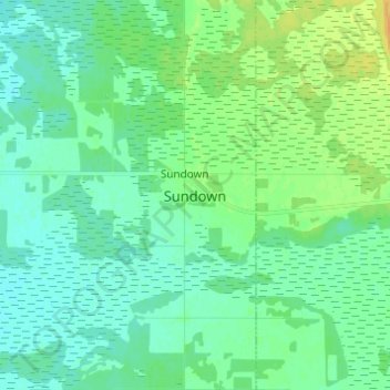
Name: Sundown topographic map, elevation, terrain.
Location: Sundown, Stuartburn, Manitoba, Canada (49.06000 -96.30667 49.14000 -96.22667)
Average elevation: 322 m
Minimum elevation: 315 m
Maximum elevation: 340 m
Manitoba trails, hiking, mountain biking, running and outdoor activities