
Z. 3 F topographic map
Interactive map
Click on the map to display elevation.
About this map
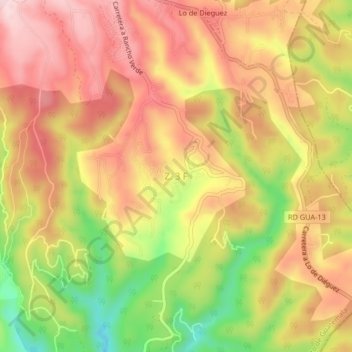
Name: Z. 3 F topographic map, elevation, terrain.
Location: Z. 3 F, Fraijanes, Guatemala (14.47521 -90.44924 14.51521 -90.40924)
Average elevation: 1,737 m
Minimum elevation: 1,567 m
Maximum elevation: 1,854 m