
Thank you for supporting this site ❤️
Make a donation
Make a donation
Gear up for your next adventure:
As an Amazon Associate, this site earns from qualifying purchases at no extra cost to you.
Labi topographic map
Click on the map to display elevation.
Thank you for supporting this site ❤️
Make a donation
Make a donation
Gear up for your next adventure:
As an Amazon Associate, this site earns from qualifying purchases at no extra cost to you.
About this map
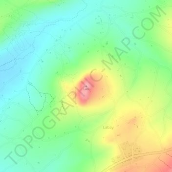
Name: Labi topographic map, elevation, terrain.
Location: Labi, Labay, Mbulu, Manyara Region, Northern Zone, Tanzania (-4.09867 35.18047 -4.09857 35.18057)
Average elevation: 1,894 m
Minimum elevation: 1,843 m
Maximum elevation: 1,972 m
Thank you for supporting this site ❤️
Make a donation
Make a donation
Gear up for your next adventure:
As an Amazon Associate, this site earns from qualifying purchases at no extra cost to you.