Geolocate

Ramtirth topographic map

Click on the map to display elevation.

About this map

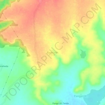
Name: Ramtirth topographic map, elevation, terrain.

Location: Ramtirth, Mantha, Jalna, Maharashtra, 431504, India (19.67971 76.39767 19.71971 76.43767)

Average elevation: 491 m

Minimum elevation: 455 m

Maximum elevation: 522 m

Other topographic maps

Click on a map to view its topography, its elevation and its terrain.

Mantha

India > Maharashtra > Mantha

Average elevation: 488 m

Gear up for your next adventure:

🧣Evaporative Cooling Towel - Beat the heat during intense summer climbs
🧴First Aid Kit - Essential first aid supplies for outdoor emergencies
👟Trail Running Shoes - Agile footwear for fast-paced topographic exploration
🥫Freeze-Dried Meals - Lightweight, high-calorie nutrition for multi-day treks
🛁Quick-Dry Microfiber Towel - Space-saving towel that dries rapidly on the move

As an Amazon Associate, this site earns from qualifying purchases at no extra cost to you.