
خانگا topographic map
Interactive map
Click on the map to display elevation.
About this map
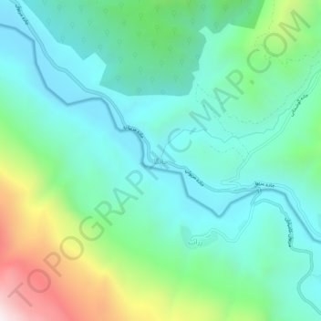
Name: خانگا topographic map, elevation, terrain.
Location: خانگا, بخش مرکزی سروآباد, شهرستان سروآباد, Kurdistan, Iran (35.24952 46.37749 35.28952 46.41749)
Average elevation: 1,373 m
Minimum elevation: 1,100 m
Maximum elevation: 2,168 m