Geolocate

Tambors de Rof topographic map

Click on the map to display elevation.

About this map

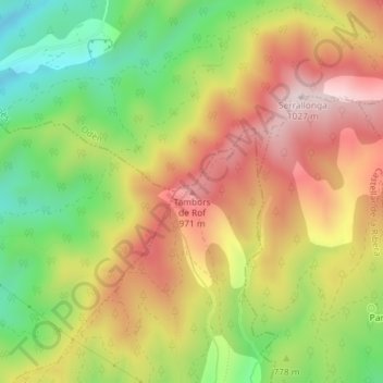
Name: Tambors de Rof topographic map, elevation, terrain.

Location: Tambors de Rof, Bassella, Alt Urgell, Catalonia, 25790, Spain (42.07337 1.35192 42.07347 1.35202)

Average elevation: 788 m

Minimum elevation: 554 m

Maximum elevation: 1,015 m

Gear up for your next adventure:

🎒Backpack Rain Cover - External shield to keep your entire pack dry
🧥Softshell Hiking Jacket - The perfect balance of wind protection and breathability
📷Outdoor Action Camera - Capture high-elevation views and rugged adventures
🐕Hiking Dog Pack - Let your canine companion carry their own water and food
💧Hydration Bladder - Hands-free hydration solution for long treks

As an Amazon Associate, this site earns from qualifying purchases at no extra cost to you.