Geolocate

Rosedale topographic map

Click on the map to display elevation.

About this map

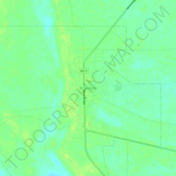
Name: Rosedale topographic map, elevation, terrain.

Location: Rosedale, Bolivar County, Mississippi, United States (33.83510 -91.04661 33.87510 -91.00661)

Average elevation: 45 m

Minimum elevation: 37 m

Maximum elevation: 52 m

Gear up for your next adventure:

🧼Biodegradable Camp Soap - Environmentally friendly cleaning for gear and body
🔦LED Headlamp - Hands-free lighting for early morning starts or late finishes
🧣Merino Neck Gaiter - Protects against wind, sun, and cold at high altitudes
🥤Collapsible Travel Cup - Saves space and weight in your mess kit
🧤Rechargeable Heated Gloves - Extreme warmth for Canadian winter expeditions

As an Amazon Associate, this site earns from qualifying purchases at no extra cost to you.