Geolocate

Farnach topographic map

Click on the map to display elevation.

About this map

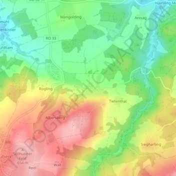
Name: Farnach topographic map, elevation, terrain.

Location: Farnach, Riedering, Landkreis Rosenheim, Bavaria, Germany (47.84310 12.27236 47.84494 12.27485)

Average elevation: 580 m

Minimum elevation: 512 m

Maximum elevation: 655 m

Gear up for your next adventure:

🧥Insulated Jacket - Keep warm in cold outdoor conditions
🧢Hiking Hat - Sun-protective and breathable hats for long treks
🔋Emergency Crank Radio - Weather alerts and power without needing batteries
Tent Footprint - Protect tent floor and increase durability
Camping Tent - Weather-resistant tents suitable for 2 to 6 people

As an Amazon Associate, this site earns from qualifying purchases at no extra cost to you.