Geolocate

Tunaspampa topographic map

Click on the map to display elevation.

About this map

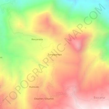
Name: Tunaspampa topographic map, elevation, terrain.

Location: Tunaspampa, Chilcas, La Mar, Ayacucho, Perú (-13.16605 -73.90630 -13.12605 -73.86630)

Average elevation: 2,818 m

Minimum elevation: 2,171 m

Maximum elevation: 3,352 m

Gear up for your next adventure:

🔥Camping Stove - Portable stoves to cook outdoors with ease
🧣Evaporative Cooling Towel - Beat the heat during intense summer climbs
🥾Waterproof Hiking Shoes - Durable shoes for wet and rugged trails
🕶️Polarized Sunglasses - Protect your eyes with durable polarized lenses
🥾Trekking Boots - Durable boots for long-distance trekking

As an Amazon Associate, this site earns from qualifying purchases at no extra cost to you.