Geolocate

Wind Cave topographic map

Click on the map to display elevation.

About this map

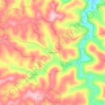
Name: Wind Cave topographic map, elevation, terrain.

Location: Wind Cave, Jackson County, Kentucky, United States (37.49259 -83.94881 37.53259 -83.90881)

Average elevation: 341 m

Minimum elevation: 204 m

Maximum elevation: 425 m

Other topographic maps

Click on a map to view its topography, its elevation and its terrain.

Annville

United States > Kentucky > Jackson County

Average elevation: 359 m

Annville

United States > Kentucky > Jackson County

Average elevation: 359 m

McKee

United States > Kentucky > Jackson County

Average elevation: 386 m

Gear up for your next adventure:

🧴Outdoor Sunscreen - High SPF protection for high-altitude UV exposure
🧊Portable Cooler - Keep food and drinks cold during outdoor adventures
👟Trail Running Shoes - Agile footwear for fast-paced topographic exploration
Lightweight Camping Tent - Portable shelter optimized for Canadian backcountry camping
🥾Mountaineering Boots - Supportive boots for climbing and high-altitude hiking

As an Amazon Associate, this site earns from qualifying purchases at no extra cost to you.