
Pignola topographic map
Click on the map to display elevation.
Pignola
Pignola is an Italian town in the province of Potenza in Basilicata. It borders to the east with Anzi, to the south-west with Abriola, to the west with Tito and to the north with Potenza. The Pignolese territory extends for 55.51 km2 and has an altitude ranging from 700 m of Pantano-Petrucco to 927 m of the inhabited center, up to 1476 m of Mount Serranetta which represents the highest point of the Pignolese territory. It has 6,962 inhabitants.
About this map
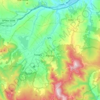
Name: Pignola topographic map, elevation, terrain.
Location: Pignola, Potenza, Basilicata, 85010, Italy (40.54255 15.72437 40.61478 15.86239)
Average elevation: 929 m
Minimum elevation: 655 m
Maximum elevation: 1,475 m
Other topographic maps
Click on a map to view its topography, its elevation and its terrain.