
Gemeinde St. Pölten topographic map
Interactive map
Click on the map to display elevation.
About this map
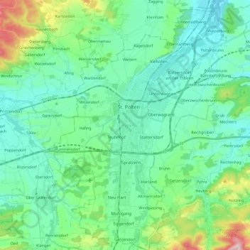
Name: Gemeinde St. Pölten topographic map, elevation, terrain.
Location: Gemeinde St. Pölten, St. Pölten, Lower Austria, Austria (48.11849 15.55590 48.26830 15.73918)
Average elevation: 309 m
Minimum elevation: 227 m
Maximum elevation: 625 m