
Tarnova topographic map
Interactive map
Click on the map to display elevation.
About this map
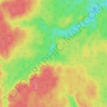
Name: Tarnova topographic map, elevation, terrain.
Average elevation: 178 m
Minimum elevation: 140 m
Maximum elevation: 208 m
Other topographic maps
Click on a map to view its topography, its elevation and its terrain.
Верхопаденьгское сельское поселение
Russia > Arkhangelsk Oblast > Shenkursky District
Верхопаденьгское сельское поселение, Shenkursky District, Arkhangelsk Oblast, Northwestern Federal District, Russia
Average elevation: 179 m