Geolocate

Lamar topographic map

Click on the map to display elevation.

About this map

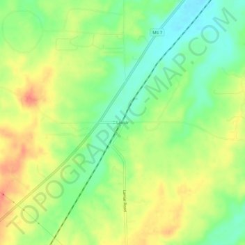
Name: Lamar topographic map, elevation, terrain.

Location: Lamar, Benton County, Mississippi, United States (34.89731 -89.33785 34.93731 -89.29785)

Average elevation: 164 m

Minimum elevation: 137 m

Maximum elevation: 193 m

Other topographic maps

Click on a map to view its topography, its elevation and its terrain.

Ashland

United States > Mississippi > Benton County

Average elevation: 185 m

Gear up for your next adventure:

🦌Outdoor Trail Camera - Monitor wildlife activity near your favorite spots
💡Portable Camping Lamp - Rechargeable lamp for campsite lighting
🧊Portable Cooler - Keep food and drinks cold during outdoor adventures
🧤Thermal Hiking Gloves - Grip-enhanced gloves for cold-weather altitude trekking
🥾Hiking Shoes - Durable and comfortable shoes for trail hiking

As an Amazon Associate, this site earns from qualifying purchases at no extra cost to you.