Geolocate

Hienheim topographic map

Click on the map to display elevation.

Hienheim

Der Ort liegt auf einer Höhe von 356 m ü. NN am linken Donauufer gegenüber der Ortschaft Eining, an der Verbindungsstraße von Neustadt über Irnsing nach Essing im Altmühltal. Regensburg ist in östlicher Richtung etwa 45 km, Ingolstadt in westlicher 30 km. München liegt ungefähr 100 km südlich des Ortes.

Wikipedia (CC-BY-SA 3.0)

About this map

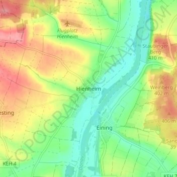
Name: Hienheim topographic map, elevation, terrain.

Location: Hienheim, Neustadt an der Donau, Landkreis Kelheim, Bayern, 93333, Deutschland (48.84324 11.74648 48.88324 11.78648)

Average elevation: 377 m

Minimum elevation: 340 m

Maximum elevation: 425 m

Gear up for your next adventure:

🧴Outdoor Sunscreen - High SPF protection for high-altitude UV exposure
🧥Softshell Jacket - Windproof and breathable jacket for hiking
🧦Merino Wool Socks - Moisture-wicking comfort for long-distance hiking
🧢Hiking Hat - Sun-protective and breathable hats for long treks
🧥Ultralight Puffy Jacket - Maximum warmth that packs down to the size of an orange

As an Amazon Associate, this site earns from qualifying purchases at no extra cost to you.