Geolocate

Bronte Park topographic map

Click on the map to display elevation.

About this map

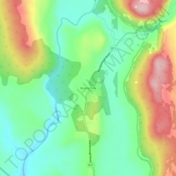
Name: Bronte Park topographic map, elevation, terrain.

Location: Bronte Park, Tasmania, Australia (-42.15539 146.47102 -42.11539 146.51102)

Average elevation: 684 m

Minimum elevation: 586 m

Maximum elevation: 848 m

Gear up for your next adventure:

🚑Survival Whistle - Signal for help across long distances in mountains
🦶Hiking Shoe Insoles - Added support for high arches and long days on feet
🎒Hiking Daypack - Lightweight and durable backpacks for day trips and excursions
Bushcraft Tarp - Versatile emergency shelter or gear protection
Camping Essentials - All-in-one gear for a comfortable camping trip

As an Amazon Associate, this site earns from qualifying purchases at no extra cost to you.