Geolocate

Wani topographic map

Click on the map to display elevation.

About this map

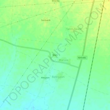
Name: Wani topographic map, elevation, terrain.

Location: Wani, Warula, Akot, Akola District, Maharashtra, 444117, India (21.01894 77.01087 21.05894 77.05087)

Average elevation: 284 m

Minimum elevation: 274 m

Maximum elevation: 294 m

Gear up for your next adventure:

🛶Kayak Accessories - Essential gear for safe and fun kayaking adventures
Bushcraft Tarp - Versatile emergency shelter or gear protection
🔋Solar Power Bank - Keep your GPS and devices charged during long outdoor trips
🧢Hiking Sun Hat - Wide-brimmed protection for exposed mountain ridges
🧴Sunscreen SPF - Broad-spectrum sunscreen for outdoor activities

As an Amazon Associate, this site earns from qualifying purchases at no extra cost to you.