Geolocate

Forgnengo topographic map

Click on the map to display elevation.

About this map

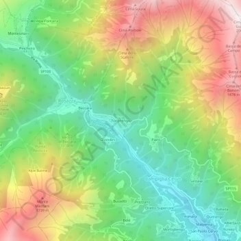
Name: Forgnengo topographic map, elevation, terrain.

Location: Forgnengo, Campiglia Cervo, Biella, Piemonte, 13815, Italia (45.65245 7.96990 45.69245 8.00990)

Average elevation: 1,234 m

Minimum elevation: 714 m

Maximum elevation: 1,986 m

Gear up for your next adventure:

🥾Waterproof Hiking Shoes - Durable shoes for wet and rugged trails
🥾Trekking Poles - Adjustable trekking poles to reduce knee stress and improve stability
🏕️Camping Hammock - Integrated protection for sleeping between trees
🧦Merino Wool Socks - Moisture-wicking comfort for long-distance hiking
🥾Waterproof Trail Shoes - Shoes designed to handle wet terrain

As an Amazon Associate, this site earns from qualifying purchases at no extra cost to you.