
Bed topographic map
Interactive map
Click on the map to display elevation.
About this map
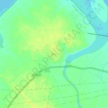
Name: Bed topographic map, elevation, terrain.
Location: Bed, Jamnagar Taluka, Jamnagar District, Gujarat, Inde (22.41238 69.87977 22.45238 69.91977)
Average elevation: 9 m
Minimum elevation: 0 m
Maximum elevation: 18 m