
Balıbey topographic map
Interactive map
Click on the map to display elevation.
About this map
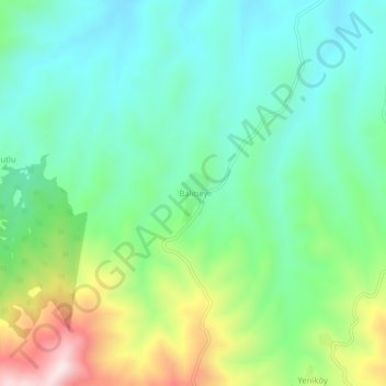
Name: Balıbey topographic map, elevation, terrain.
Location: Balıbey, Kula, Manisa, Ägäisregion, Türkei (38.43653 28.66748 38.47653 28.70748)
Average elevation: 759 m
Minimum elevation: 608 m
Maximum elevation: 1,114 m