
Kafr `Uwayd topographic map
Interactive map
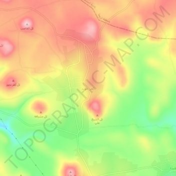
Click on the map to display elevation.
About this map
Name: Kafr `Uwayd topographic map, elevation, terrain.
Location: Kafr `Uwayd, Gouvernorat d'Idleb, Syrie (35.60713 36.44042 35.64713 36.48042)
Average elevation: 747 m
Minimum elevation: 625 m
Maximum elevation: 848 m