
Glenrowan topographic map
Interactive map
Click on the map to display elevation.
About this map
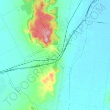
Name: Glenrowan topographic map, elevation, terrain.
Location: Glenrowan, Rural City of Wangaratta, Victoria, Australie (-36.50647 146.17588 -36.41110 146.25394)
Average elevation: 210 m
Minimum elevation: 149 m
Maximum elevation: 505 m