Geolocate

Powder Springs topographic map

Click on the map to display elevation.

About this map

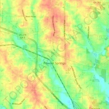
Name: Powder Springs topographic map, elevation, terrain.

Location: Powder Springs, Cobb County, Georgia, United States (33.84108 -84.72454 33.88869 -84.64329)

Average elevation: 291 m

Minimum elevation: 264 m

Maximum elevation: 315 m

Gear up for your next adventure:

🥾Mountaineering Boots - Supportive boots for climbing and high-altitude hiking
🥾Hiking Gaiters - Protect legs and shoes from mud, snow, and debris
🥾Trail Hiking Socks - Comfortable socks to prevent blisters and fatigue
🥾Trail Running Boots - Durable shoes designed for trail running
Backpacking Tent - Lightweight tent for long-distance hiking trips

As an Amazon Associate, this site earns from qualifying purchases at no extra cost to you.