
Raalte topographic map
Interactive map
Click on the map to display elevation.
About this map
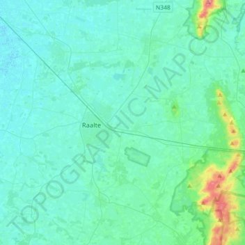
Name: Raalte topographic map, elevation, terrain.
Location: Raalte, Overijssel, Niederlande (52.30052 6.14415 52.47439 6.40517)
Average elevation: 7 m
Minimum elevation: -4 m
Maximum elevation: 75 m