
Houch Hala topographic map
Interactive map
Click on the map to display elevation.
About this map
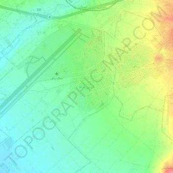
Name: Houch Hala topographic map, elevation, terrain.
Average elevation: 913 m
Minimum elevation: 888 m
Maximum elevation: 946 m
Other topographic maps
Click on a map to view its topography, its elevation and its terrain.
Rashaya
Liban > Gouvernorat de la Beqaa
Rashaya, District de Rashaya, Gouvernorat de la Beqaa, Liban
Average elevation: 1,175 m
Ain Kafer Zabad
Liban > Gouvernorat de la Beqaa
Ain Kafer Zabad, District de Zahlé, Gouvernorat de la Beqaa, Liban
Average elevation: 1,093 m