Geolocate

Sector 37 topographic map

Click on the map to display elevation.

About this map

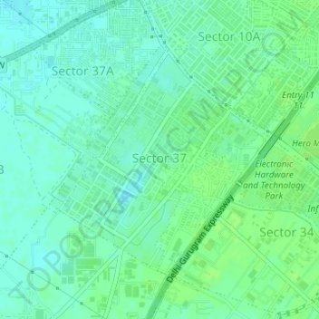
Name: Sector 37 topographic map, elevation, terrain.

Location: Sector 37, Gurgaon, Haryana, India (28.42422 76.98871 28.44407 77.01012)

Average elevation: 221 m

Minimum elevation: 216 m

Maximum elevation: 225 m

Other topographic maps

Click on a map to view its topography, its elevation and its terrain.

Badshahpur

India > Haryana > Gurgaon

Average elevation: 228 m

Damdama Lake

India > Haryana > Gurgaon

Average elevation: 242 m

Gear up for your next adventure:

🛁Quick-Dry Microfiber Towel - Space-saving towel that dries rapidly on the move
🎒Fully Waterproof Backpack - Total protection for photography gear and electronics
🧴Outdoor Sunscreen - High SPF protection for high-altitude UV exposure
💡Compact LED Flashlight - Powerful and portable flashlight for outdoor use
🕶️Polarized Sunglasses - Reduces glare from snow and water at high elevations

As an Amazon Associate, this site earns from qualifying purchases at no extra cost to you.